 Motion Prompt Lab.
Duration — 1280×720 · 16:9 landscape HyperFrames HyperFrames + GSAP
Run log
ModelClaude (agent build)
Renderer / stackHyperFrames + GSAP
Iterations to final2
Render time22.7s (final render)
Format1280×720 · 16:9 landscape
Published2026-11-02
What broke (and the fix)
- First render's arrival state ate its own details: the destination marker was accent-orange sitting inside the accent-orange state highlight — invisible except its outline — and the driven trail vanished where it crossed the filled state, and the state name label was orange-on-orange at the fill's edge. Fixed as a class: destination marker is now white, the trail carries a wider dark edge path drawn in sync underneath it, and the state label moved below the state over dark land.
- Accepted check warnings: the closing caption holds about 1.5s by the checker's reading-speed rule — it is a 7-word line over an already-readable end state; the nested-div timeline rows are cosmetic.
Original prompt Tested
Convoy tracking map — HyperFrames prompt (truck route with synced checkpoints)
by MotionPrompts (own run)
Prompt
Banned list —Beat grid —Build method —Self-review —
<direction>
Build a 1280x720, 11-second convoy tracking map in HyperFrames + GSAP: a regional map with real state borders (Natural Earth + US state boundaries) where a truck glyph drives a multi-stop road route — the driven trail draws in behind it in the accent colour, every checkpoint fills the moment the truck reaches it, the destination state blinks in the accent colour on arrival, and three route-stat callouts land under the map. House style: background #0a0a0a, white type, ONE orange accent #ff5c1a, Arial/Helvetica bold, NO webfonts, no gradients, no glows, no 3D. The run is fictional sample content: the kicker carries "SAMPLE RUN" and the footer reads "ILLUSTRATIVE SAMPLE — SWAP IN YOUR OWN ROUTE, STOPS + STATS" for the whole film.
Route title: Los Angeles → Phoenix
Destination state: Arizona
Stat callouts (value — label, three of them): 1,069 KM — route distance, 3 — checkpoints, 58 KM/H — avg speed
Banned: stock map imagery, extra colours, lorem ipsum, any real shipment or live data presented as fact — the sample stats are illustrative.
</direction>
<structure>
0.0-0.7s: orange kicker "CONVOY TRACKING MAP — SAMPLE RUN" and the route title settle at top-left; footer fades in.
0.7-1.7s: the regional map fades in — land, state borders, a faint graticule, the ghost of the full route, and hollow checkpoint rings at each planned stop.
2.6-3.0s: the origin marker pops with a radar pulse ring; its label appears and the truck glyph fades in on the marker.
3.0-8.4s: the drive — the accent trail draws itself behind the truck (stroke-dashoffset, getTotalLength timing) while the truck rides the drawing head, rotated to the tangent; each checkpoint ring fills in the accent colour and its label appears at the exact progress fraction where the truck reaches it; the distance chip lands mid-drive.
8.4-9.9s: the truck hands off to the destination marker (pop + pulse ring + label); the destination state's fill blinks twice in the accent colour and settles at 85% opacity with its name below it; the remaining stat chips land.
9.9-11.0s: the closing caption "ONE CONVOY · EVERY CHECKPOINT · NO STOCK MAPS" sits under the chips; hold the finished map, everything readable.
</structure>
<build>
Map data: countries from world-atlas (Natural Earth) plus US state boundaries as real GeoJSON, all re-projected into one regional window — no zoom needed, the region IS the frame. The route is a Catmull-Rom smoothing through the stop coordinates so it bends like a road, not a flight arc. Stops, markers and the truck live inside the map group; city and state labels are HTML overlays in screen space (19px floor, and they must stay clear of the highlight fill). One paused GSAP timeline registered as window.__timelines["main"]. The truck and the trail share ONE eased progress proxy: the trail draws from it and the checkpoint triggers fire from it, so a checkpoint can never fire early or late. Anything that must read ON TOP of the accent highlight fill needs contrast help: the destination marker is white, not accent, and the trail carries a wider dark edge path drawn in sync underneath it. Marker dots animate the radius attribute (r 0 to 5), never scale; fromTo tweens that must stay hidden before their beat carry immediateRender: false.
</build>
Use this prompt
Sync is the whole entry: the truck, the trail and the checkpoint triggers all read one eased progress value, so a checkpoint fills on the exact frame the truck's nose reaches it — no hand-timed keyframes to drift. And design for the arrival state, not the empty map: anything accent-coloured that ends up inside the accent highlight fill (marker, trail, label) disappears unless you give it a white fill or a dark edge.
Related videos
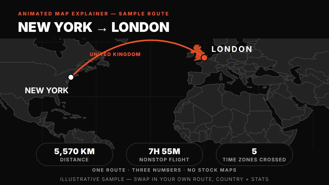
Animated map explainer — HyperFrames prompt (world map, route draw + country highlight)
HyperFrames·16:9 landscape Tested
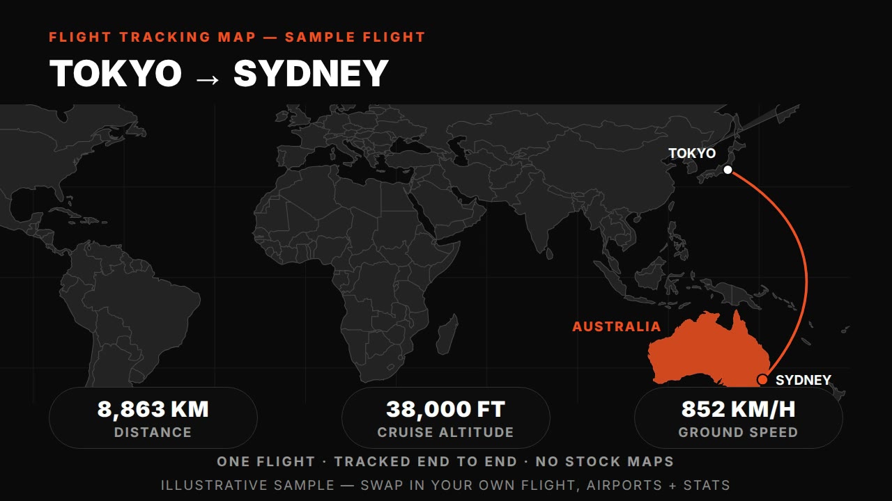
Flight tracking map — HyperFrames prompt (animated plane route with live-tracked arc)
HyperFrames·16:9 landscape Tested
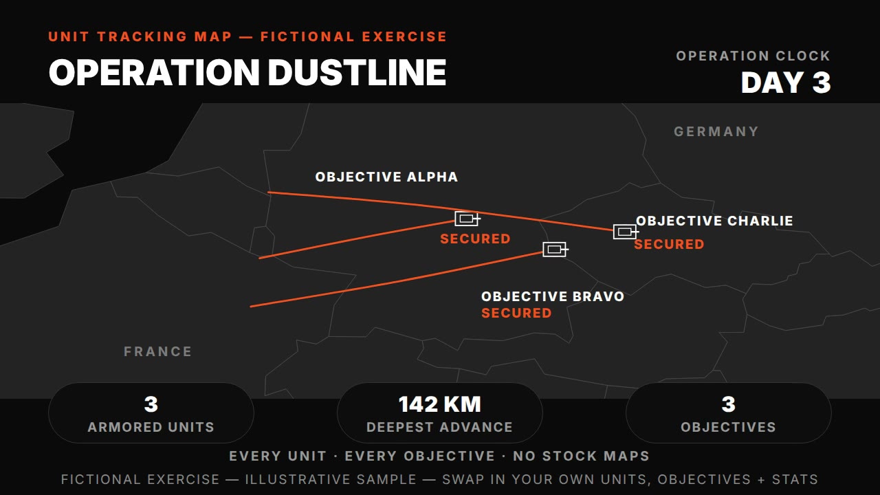
Unit tracking map — HyperFrames prompt (tank units, phases, objectives)
HyperFrames·16:9 landscape Tested
Frontline advance animation — HyperFrames prompt (morphing front, territory, date clock)
HyperFrames·16:9 landscape Tested